UN-GGIM
Expert Consultation and Meeting on Enhancing Geospatial Information Management Arrangements and Accelerating the Implementation of the Sustainable Development Goals together with the Sub-regional Workshop on United Nations Integrated Geospatial Information Framework for the Pacific island counties and territories
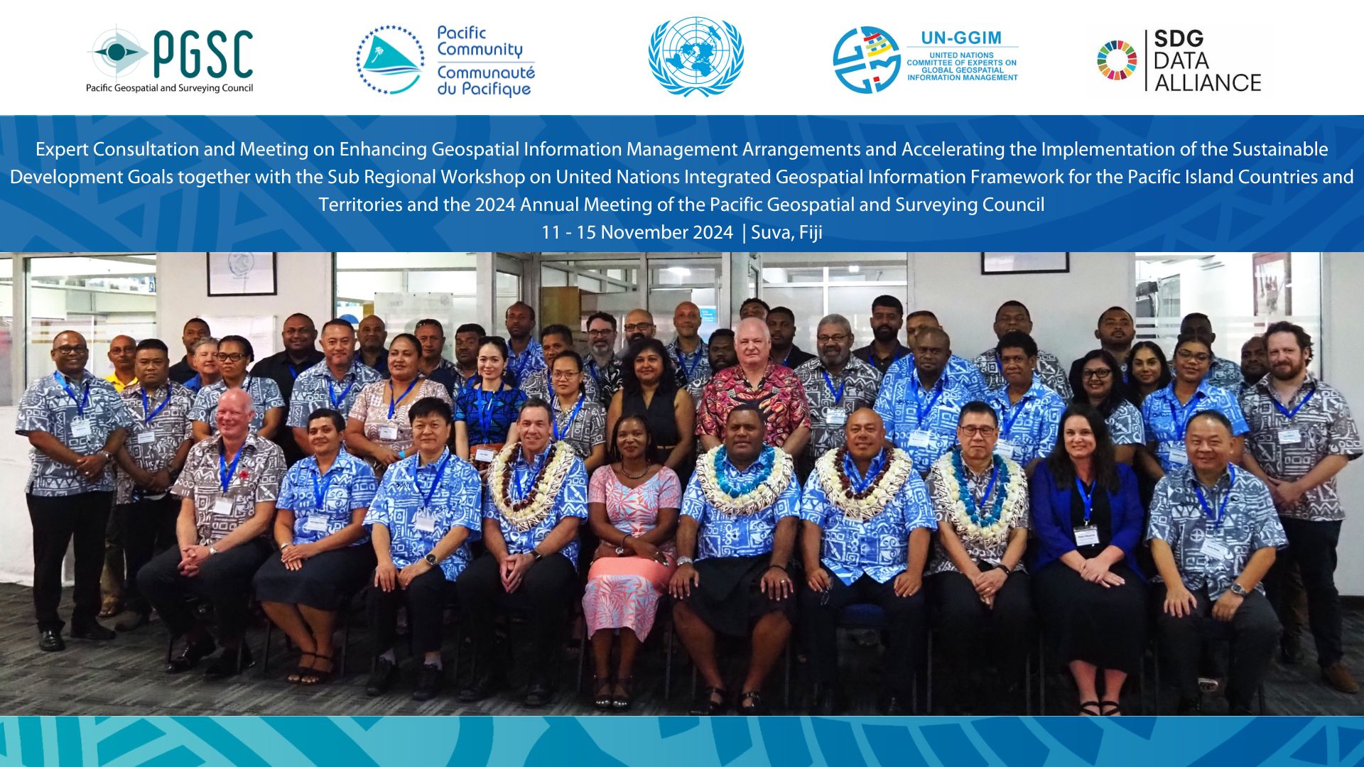
The week-long expert consultation, meeting and workshop in Suva, Fiji together with the 2024 plenary meeting of the Pacific Geospatial and Surveying Council (PGSC) saw national representatives from eleven Pacific Island Countries and Territories (PICTs) together with national and regional partners working together to chart a course for Pacific SIDS to enhance their national geospatial information arrangements, leveraging the UN-IGIF, accelerate the implementation of the SDGs and the newly adopted Antigua and Barbuda Agenda for Small Island Developing States (ABAS). National representatives identified and discussed their development and related capabilities challenges, recognized that the ABAS, in listing concrete priorities and actions across ten thematic areas, provides the mandate and roadmap for PICTs as well as the PGSC, in particular, the thematic area 'Improving data collection, analysis, and use'. Some fifty-five participants readily noted that this includes, inter-alia, investing their States' ability to ensure quality, accessible, timely and reliable, disaggregated data, according to national circumstances; strengthening and modernizing national geospatial information management arrangement, its infrastructure and systems; enhancing science-based and innovative approaches for the collection, storage, analysis, disaggregation, dissemination and use of data and information, including the use of geospatial technologies; enhancing partnerships to facilitate peer-to-peer learning, including through the SIDS Centre of Excellence and SPC; and providing high-quality geospatial data, and working to downscale global datasets to provide accurate information for SIDS.
The five-day event began with an opening segment with welcome and opening remarks from the Chair of PGSC and Director General of SPC. The Permanent Secretary of the Ministry of Lands and Mineral Resources of Fiji provided the keynote address. He said, "in the Pacific, where natural disasters, rising sea levels, and resource constraints are frequent challenges, geospatial information can truly make the difference between life and loss. By enhancing geospatial information management, we can build resilience, improve disaster preparedness, support sustainable agriculture, manage fisheries effectively, and ensure that no community is left behind". He also said that the "Pacific is a region defined by resilience, unity, and a strong sense of community. It is our collective responsibility to ensure that geospatial information management reflects these values, helping us move towards a sustainable future". The Director General of SPC, in his opening statement, said "as we stand at the intersection of rapidly evolving technologies and urgent global challenges, the role of geospatial information in addressing sustainable development cannot be overstated. The Pacific Islands with their unique geography, small island states and vulnerabilities to climate change, have a particular need for robust, accessible, and accurate geospatial data to support decision-making, resilience-building, and the achievement of the SDGs".
The event, convened at a critical juncture in the global development agenda cycle, has as its overarching theme 'Identifying Problems, Finding Solutions'. The five days, with inter-connected segments, appreciated current and situational understanding along with required leadership actions to address the geospatial information management challenges and opportunities in the Pacific SIDS. A number of States shared their progress with their national action plan to strengthen their national geospatial information management arrangements including national data hubs to provide evidence and insights for policy development and decision-making. On the final day, representatives from various countries and territories expressed their need and readiness to develop UN-IGIF country-level Action Plans and national data hubs towards achieving their national development priorities. This includes realizing the ABAS (and its SIDS Centre of Excellence and SIDS Global Data Hub) by recognizing, developing, and leveraging Indigenous geospatial and surveying capabilities. Their efforts will leverage existing knowledge, resources, capabilities, and partnerships, particularly within the region, including the Pacific Community (SPC). The focus will also be on sustaining peer-to-peer engagement, encouragement, and empowerment; accessing support and resource materials from the UN Secretariat; and localizing sub-regional resources and support at the PGSC Partnership Desk located in SPC. The UN-IGIF will serve as a mechanism for transformative change, starting with country-led efforts to design and develop country-level Action Plans and national data hubs.
.-
Mr. Sam Harper, International Hydrographic Organization
Ms. Vani Koroisamanunu, Secretariat of the Pacific Regional Environment Programme
Ms. Megan Wieczorek, Geoscience Australia
Ms. Andiswa Mlisa, Digital Earth Pacific, SPC
Mr. Eberhard Weber, University of the South Pacific
Mr. Andrick Lal/Mr. Ryan Keenan, International Federation of Surveyors
-
Mr. Keran Wang, United Nations Economic and Social Commission for Asia and the Pacific
Mr. Pengde Li, United Nations Global Geospatial Knowledge and Innovation Centre, Statistics Division, DESA
Mr. CheeHai Teo/Nick Brown, United Nations Global Geodetic Centre of Excellence, Statistics Division, DESA
-
Ms. Kamsin Raju & Mr. Kishan Kumar, Pacific Data Hub + Nexus, SPC
Ms. Litia Gaunavou, Pacific Maritime Boundaries Dashboard
Mr. Divish Anuj, Pacific Community
Ms. Yumi Nafe, Ministry of Lands and Natural Resources, Tonga
Mr. Mortiz Wandres, Pacific Community (SPC)