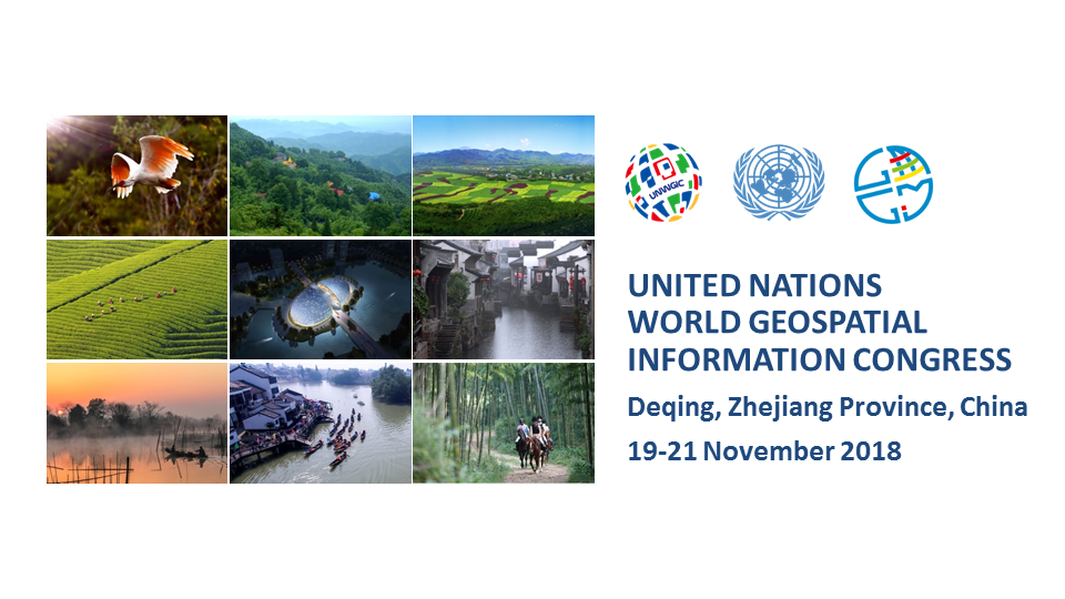
The first United Nations World Geospatial Information Congress held in Deqing, Zhejiang Province, China from 19 to 21 November 2018, convened under the purview of the United Nations, substantively improved and strengthened the role of geospatial information management, innovation and related technologies towards implementing the 2030 Agenda for Sustainable Development and to keep the promise to leave no one behind.
"Your dedication, expertise and guidance - in geospatial data, methods, frameworks, tools, and platforms - is urgently needed. The data needs for the SDGs are great, and time is not on our side. Reliable, timely, accessible and disaggregated geospatial information must be brought to bear to measure progress, inform decision-making and ensure effective and inclusive national and sub-national programs that will chart the path towards the 'Geospatial Way to a Better World', to assist in the implementation of the SDGs, and transform our world for the better."
António Guterres
Secretary-General of the United Nations
(video message to the United Nations World Geospatial Information Congress)
19 November 2018
The three-day event with a comprehensive programme provided a convening, participatory and inclusive environment to intensify collaboration at the regional and global levels; enhanced the communication, understanding, knowledge and application of geospatial information management; discussed the policy relevance and challenges to advance geospatial science, technologies and innovations; promoted the creation and sharing of more reliable, timely and quality geospatial data; and encouraged value-added applications and services to address local, national, regional and global challenges. The participating ministers, in their ministerial statements at the UNWGIC, stressed the importance of working together across borders, highlighted the benefits of partnerships and cooperation in sharing of good practices and transfer of technologies in order to meet the growing national, regional and global demand for geospatial information.
"The Geospatial Way to a Better World" the theme of the UNWGIC resonated with over 2000 participants and exhibitors from all continents. The hosts very ably prepared and provided a welcoming, friendly and conducive environment for participants from governments, international organizations, civil societies, academia and the private sector to share and exchange knowledge and experiences, who were informed and inspired to seek the highest and widest application of geospatial information, sciences, technologies and services for the wellbeing of society, environment and economy.
This was reflected in the Moganshan Declaration issued on behalf of all participants at the conclusion of the UNWGIC that resolved to work together to build a human data and geography community for a shared and better future, and to keep the promise to leave no one behind by fostering effective cross-sector and interdisciplinary international, regional and local collaboration and partnerships, and to support national development priorities. Participants requested a second UNWGIC in four years' time, to continue to promote comprehensive and inclusive dialogue with Governments and between Governments and all stakeholders, including young professionals, and to stimulate progress and advancement in global geospatial information management
Participants congratulated the host, the Government of China through the Ministry of Natural Resources in collaboration with the Government of Zhejiang Province, for their dedication and vision for realizing the UNWGIC, especially for having prepared and organized the venue, administration and logistics, and for the tremendous work of local volunteers who definitely exposed the international geospatial information community to Deqing County in such a warm and engaging fashion. It was fitting that this was recognized with a rousing show of appreciation and admiration from the participants to the representative group of the over 750 local volunteers at the closing ceremony.
Announcement

Floor Plans
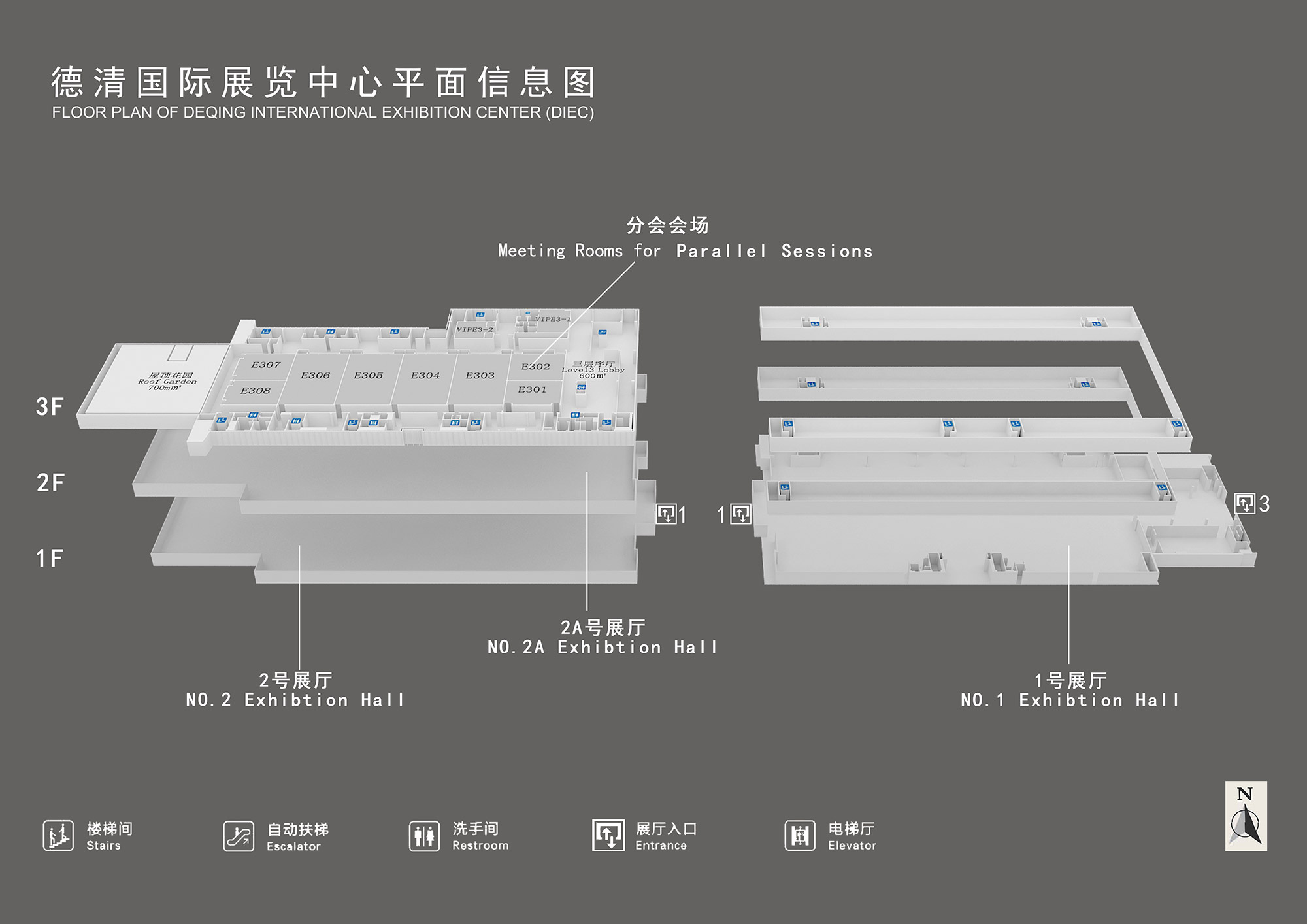
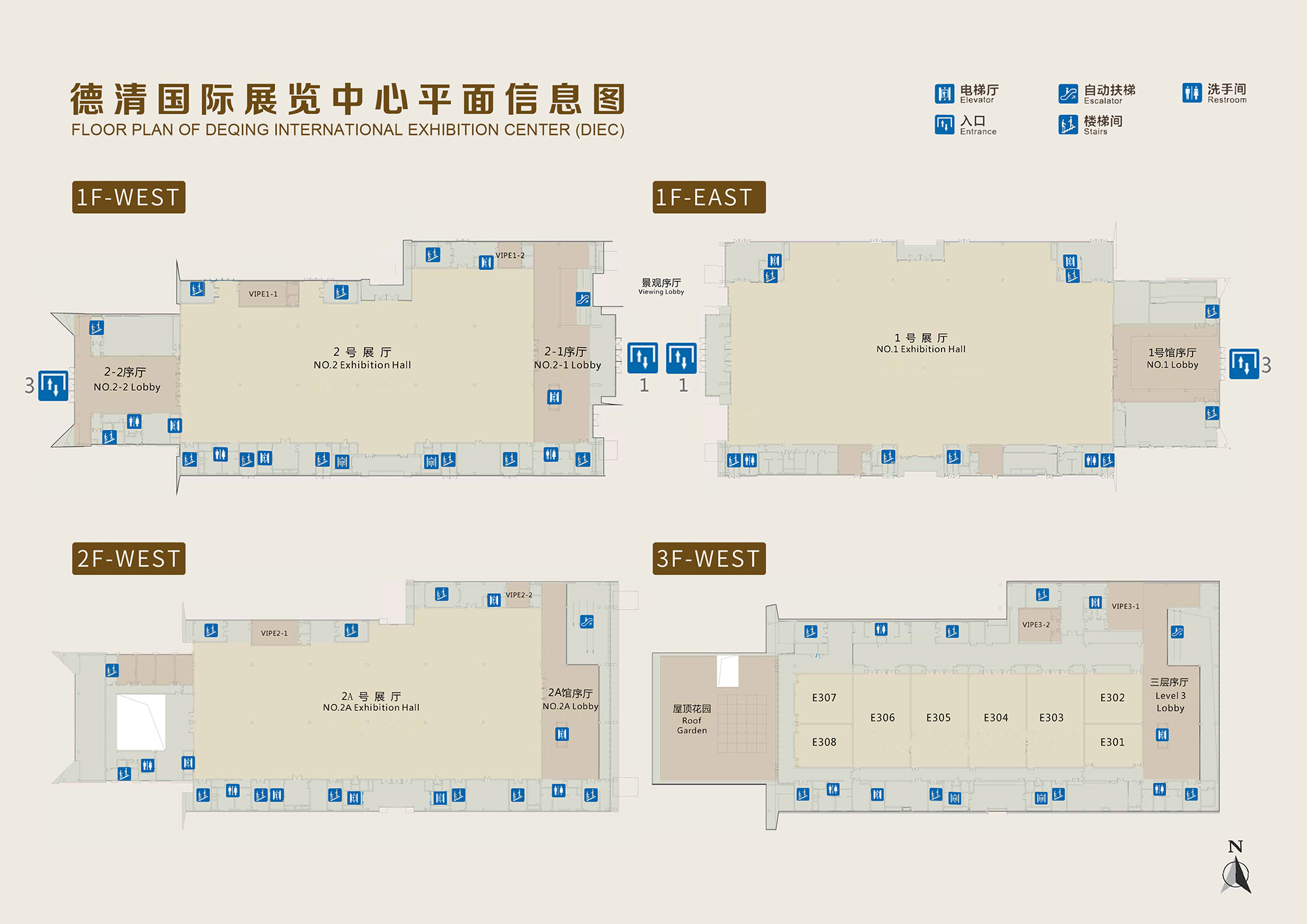
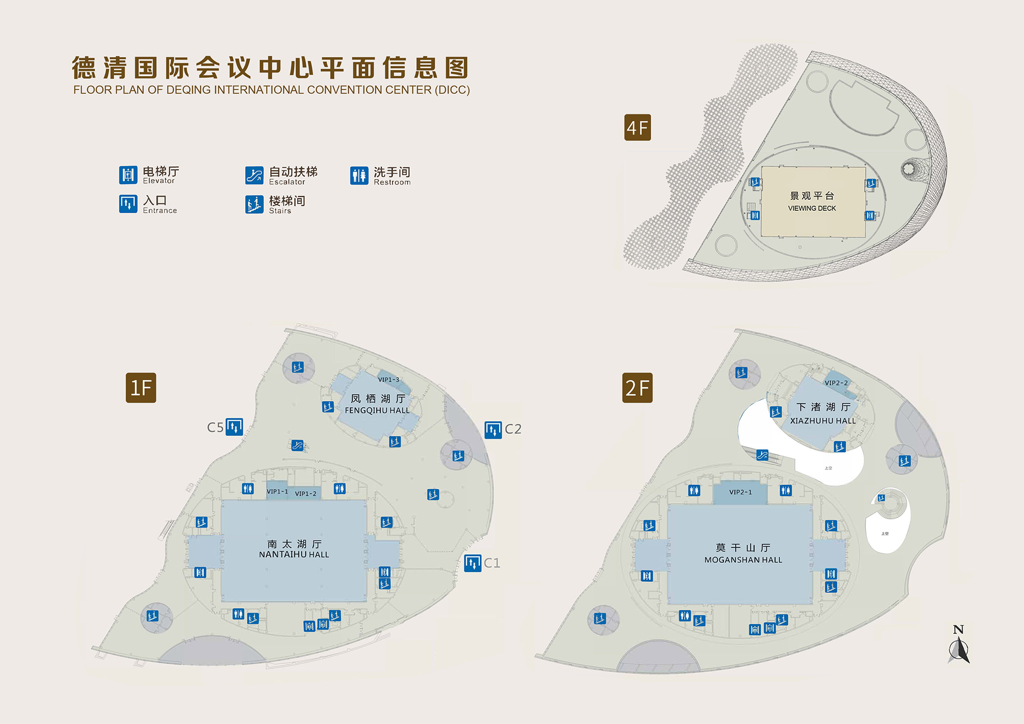
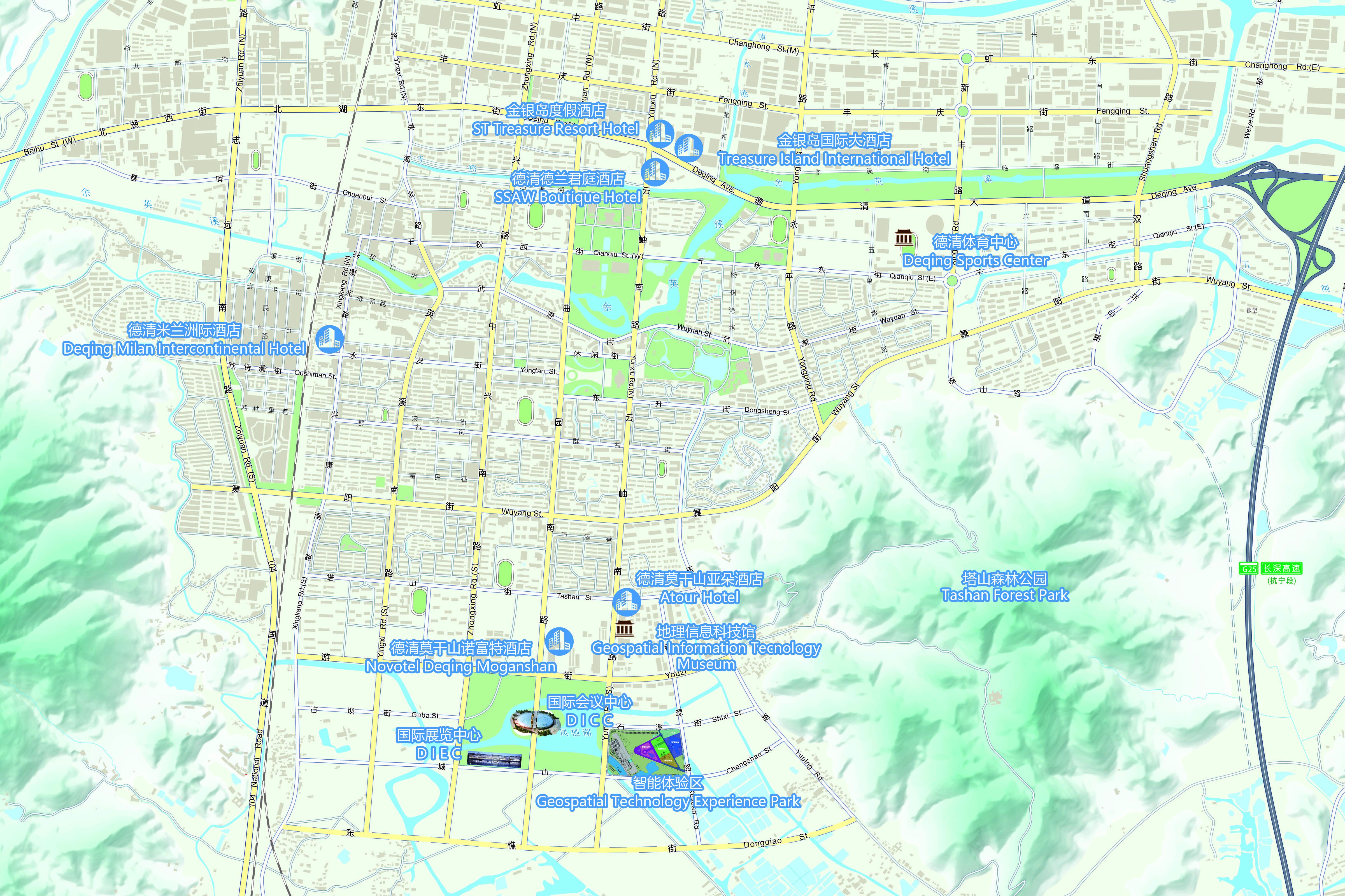
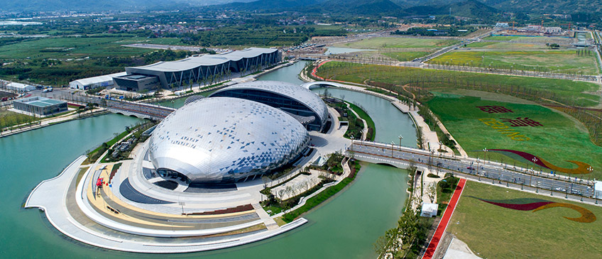
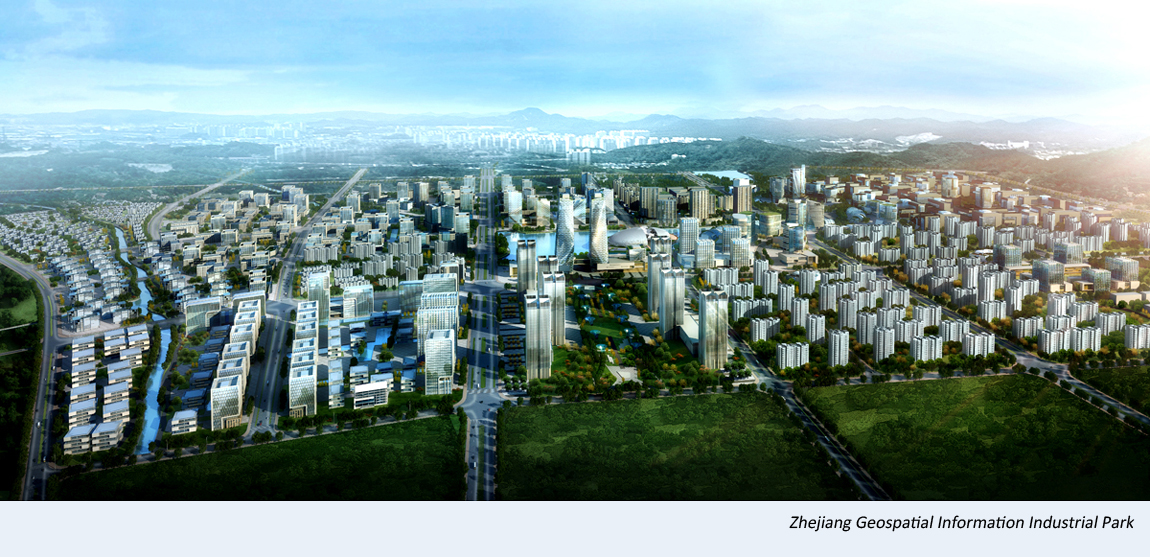
The UNWGIC will be held at the Deqing International Convention Center, located at the Zhejiang Geospatial Information Industrial Park in Deqing, Zhejiang Province, China. The address of the Convention Center is: No. 999 Quyuan South Road, Wuyang Sub-district, Deqing.


Programme (click image to enlarge)
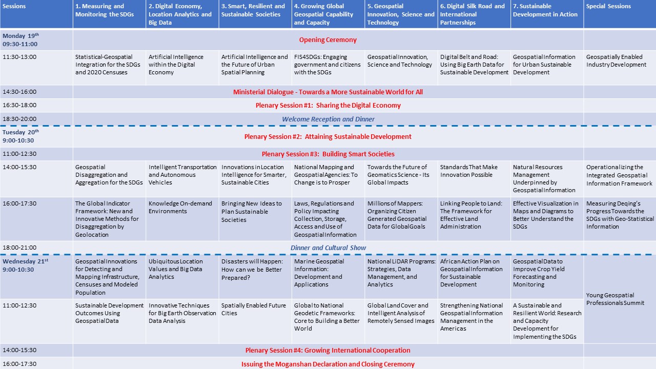
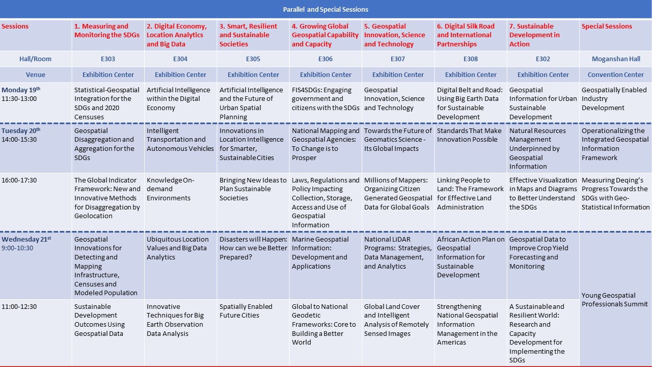
Programme by Sessions (click on session for more detail information)
Opening Ceremony
-
Monday 19th
09:30-11:30am more
Issuing the Moganshan Declaration and Closing Ceremony
-
Wednesday 21st
16:00-17:30: more
Ministerial Dialogue - Towards a More Sustainable World for All
-
Monday 19th
14:30-16:00: more
Plenary Sessions
-
Monday, 19 November
16:30-18:30:
Plenary Session #1: Sharing the Digital Economy more -
Tuesday, 20 November
9:00-10:30:
Plenary Session #2: Attaining Sustainable Development more11:00-12:30:
Plenary Session #3: Building Smart Societies more -
Wednesday, 21 November
14:00-15:30:
Plenary Session #4: Growing International Cooperation more
Special Sessions
-
Monday, 19 November
11:30-13:00:
Geospatially Enabled Industry Development more -
Tuesday, 20 November
14:00-15:30:
Operationalizing the Integrated Geospatial Information Framework more16:00-17:30:
Measuring Deqing's Progress Towards the SDGs with Geo-Statistical Information more -
Wednesday, 21 November
9:00-12:30:
Young Geospatial Professionals Summit more
Measuring and Monitoring the SDGs
-
Monday 19th
11:30-13:00:
Statistical-Geospatial Integration for Sustainable Development and the 2020 Round of Censuses more -
Tuesday 20th
14:00-15:30:
Geospatial Disaggregation and Aggregation for the SDGs more16:00-17:30:
The Global Indicator Framework: New and Innovative Methods and Data for Disaggregation by Geolocation more -
Wednesday 21st
9:00-10:30:
Geospatial Innovations for Detecting and Mapping Infrastructure, Censuses and Modeled Population more11:00-12:30:
Sustainable Development Outcomes Using Geospatial Data more
Digital Economy, Location Analytics and Big Data
-
Monday 19th
11:30-13:00:
Artificial Intelligence within the Digital Economy more -
Tuesday 20th
14:00-15:30:
Intelligent Transportation and Autonomous Vehicles more16:00-17:30:
Knowledge On-demand Environments more -
Wednesday 21st
9:00-10:30:
Ubiquitous Location Values and Big Data Analytics more11:00-12:30:
Innovative Techniques for Big Earth Observation Data Analysis more
Smart, Resilient and Sustainable Societies
-
Monday 19th
11:30-13:00:
Artificial Intelligence and the Future of Urban Spatial Planning more -
Tuesday 20th
14:00-15:30:
Innovations in Location Intelligence for Smarter, Sustainable Cities more16:00-17:30:
Bringing New Ideas to Plan Sustainable Societies more -
Wednesday 21st
9:00-10:30:
Disasters will Happen: How can we be Better Prepared? more11:00-12:30:
Spatially Enabled Future Cities more
Growing Global Geospatial Capability and Capacity
-
Monday 19th
11:30-13:00:
FIS4SDGs: Engaging government and citizens with the SDGs more -
Tuesday 20th
14:00-15:30:
National Mapping and Geospatial Agencies: To Change is to Prosper more16:00-17:30:
Laws, Regulations and Policy Impacting Collection, Storage, Access and Use of Geospatial Information more -
Wednesday 21st
9:00-10:30:
Marine Geospatial: Information Development and Applications more11:00-12:30:
Global to National Geodetic Frameworks: Core to Building a Better World more
Geospatial Innovation, Science and Technology
-
Monday 19th
11:30-13:00:
Geospatial Innovation, Science and Technology more -
Tuesday 20th
14:00-15:30:
Towards the Future of Geomatics Science - Its Global Impacts more16:00-17:30:
Millions of Mappers: Organizing Citizen Generated Geospatial Data for the Global Goals more -
Wednesday 21st
9:00-10:30:
National LiDAR Programs: Strategies, Data Management, and Analytics more11:00-12:30:
Global Land Cover and Intelligent Analysis of Remotely Sensed Images more
Digital Silk Road and International Partnerships
-
Monday 19th
11:30-13:00:
Digital Belt and Road: Using Big Earth Data for Sustainable Development more -
Tuesday 20th
14:00-15:30:
Standards That Make Innovation Possible more16:00-17:30:
Linking People to Land: The Framework for Effective Land Administration more -
Wednesday 21st
9:00-10:30:
African Action Plan on Geospatial Information for Sustainable Development more11:00-12:30:
Strengthening National Geospatial Information Management in the Americas more
Sustainable Development in Action
-
Monday 19th
11:30-13:00:
Geospatial Information for Urban Sustainable Development more -
Tuesday 20th
14:00-15:30:
Natural Resources Management Underpinned by Geospatial Information more16:00-17:30:
Effective Visualization in Maps and Diagrams to Better Understand the SDGs more -
Wednesday 21st
9:00-10:30:
Geospatial Data to Improve Crop Yield Forecasting and Monitoring more11:00-12:30:
A Sustainable and Resilient World: Research and Capacity Development for Implementing the SDGs more
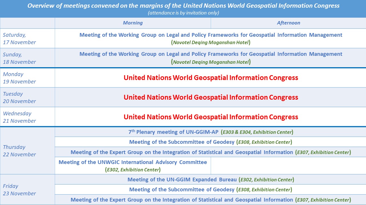
Documentation for the UN World Geospatial Information Congress
Outcome of the UN World Geospatial Information Congress
Annual sessions
- Fifteenth session
- Fourteenth session
- Thirteenth session
- Twelfth session
- Eleventh session
- Past sessions