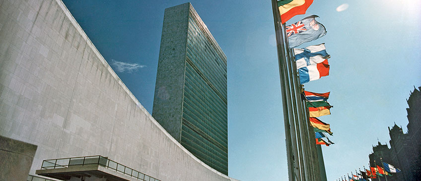
The eighth session of the United Nations Committee of Experts on Global Geospatial Information Management (UN-GGIM) was held from 1 - 3 August 2018 at the United Nations Headquarters in New York. UN-GGIM seeks to promote international collaboration in global geospatial information management, and as the relevant body on geospatial information management in the United Nations, to report on all matters relating to geography, geospatial information and related topics to the United Nations Economic and Social Council (ECOSOC).
The session was attended by a total of 427 participants, 316 delegates from 88 Member States and 2 non-Member States - principally at the level of Heads of agencies and senior executives responsible for national geospatial information management, and the rest from 69 observer organizations (UN system, international organization, non-governmental organization, academia and private sector). The Committee unanimously adopted its report containing sixteen substantive decisions before its adjournment. A total of 34 side events and meetings were convened on the margins of the eighth session. These side events and meetings were well attended, fostered mutual learning and exchange of knowledge and experiences, and contributed to capacity and capability developments.
The Committee of Experts was encouraged by the activities and progress of its subcommittee, expert and working groups, deliberated and debated, provided guidance and made joint decisions that further strengthened the coordination and coherence of global geospatial information management, including the application of geospatial information for sustainable development. Among the decisions, the Committee of Experts:
- Accepted an updated 2018-2022 Strategic Framework as a reference point for coordination, coherence and prioritizing the work programmes and activities of the Committee;
- Adopted the Integrated Geospatial Information Framework, a result of the close cooperation between UNSD/DESA and the World Bank. The Framework represents a decisive step in strengthening national geospatial information management capacities and capabilities, and a mechanism to develop national (or sub-national) actions plans that will be used to mobilize both domestic and international (especially World Bank) resources;
- Endorsed the Compendium on Licensing of Geospatial Information, acknowledged as a comprehensive document to guide and assist Member States to understand legal and policy considerations that impact the collection, use, storage and dissemination of geospatial information, and can serve as a foundation document for several other initiatives, including developing good practices in the future;
- Expressed continued commitment and support for the United Nations World Geospatial Information Congress, to be convened in Deqing, Zhejiang, China from 19 - 21 November 2018, as a milestone global event that will continue to grow the coherence and coordination of global geospatial information for Member States, and a unique opportunity to raise the visibility of geospatial information management as an enabler of sustainable development; and
- Welcomed the convening of the Sixth High-level Forum on Global Geospatial Information Management in the United Kingdom in April 2020, to be hosted by the Ordnance Survey of Great Britain on behalf of the United Kingdom;
Annual sessions
- Fifteenth session
- Fourteenth session
- Thirteenth session
- Twelfth session
- Eleventh session
- Past sessions

