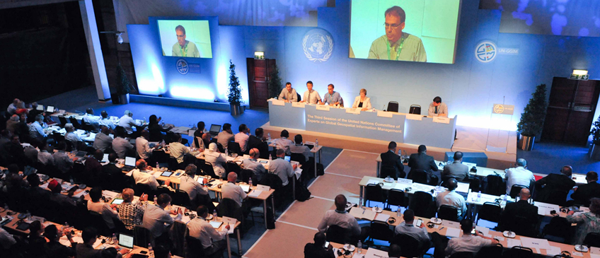
Third Session of the United Nations Committee of Experts on Global Geospatial Information Management (UN-GGIM)
Corn Exchange Building, Cambridge City Centre, United Kingdom- 21 - 26 July 2013
The fourth Session was organized by the United Nations Statistics Division (UNSD)
Click the links below to browse documents by agenda item.
Agenda item #1.
Election of officers.
Agenda item #1.
Election of officers.
- E/C.20/2013/1 - Provisional Annotated Agenda : Arabic | Chinese | English | French | Russian | Spanish
- E/C.20/2013/1/Add.1 - Report
- E/C.20/2013/INF/1 - Documentation for the Session
- E/C.20/2013/L.1 - Organization of Work
- E/C.20/2013/2 - Rules of Procedure
- E/C.20/2013/4 - Summary Arabic | Chinese | English | French | Russian | Spanish
- E/C.20/2013/4/Add.1 - Report
- Background documents:
- International Association of Geodesy
- Kartverket
- L'information Grandeur Nature
- Geoscience Australia
- E/C.20/2013/10 - Summary : Arabic | Chinese | English | French | Russian | Spanish
- E/C.20/2013/10/Add,1 - Report
- Background documents
- International Federation of Surveyors
- International Hydrographic Organization