The theme "Charting the Course Toward Resilient Prosperity" highlights with "charting" the necessity for better planning and managing resources, where geospatial information and mapping technologies can play a critical role, towards addressing national priorities and sustainable development. Geospatial information now underpins everything we do and is essential for sustainable development across countries, including Small Island Developing States (SIDS). Considering the challenges that face SIDS due to their geographical remoteness and vulnerability to weather-related disasters, geospatial information and technologies can provide data, knowledge, shared understanding and innovative solutions for "charting" the course towards sustainable development and resilient prosperity
The use of timely and reliable geospatial information and enabling technologies are critical to address national priorities, for national development and for decision-making. The availability of geospatial data integrated with other data that is relevant to our lives and livelihoods are key to providing better information and shared understanding of what happens where, and in turn address challenges and priorities such as those that may relate to climate, biodiversity, resilience, sustainability and economic opportunities, to name some. The development, strengthening, integration and delivery of national geospatial information policy, data, systems, tools, services and capabilities is critical for the development of national policies, strategies and arrangements and to enable the implementation of national development priorities and the SDGs.
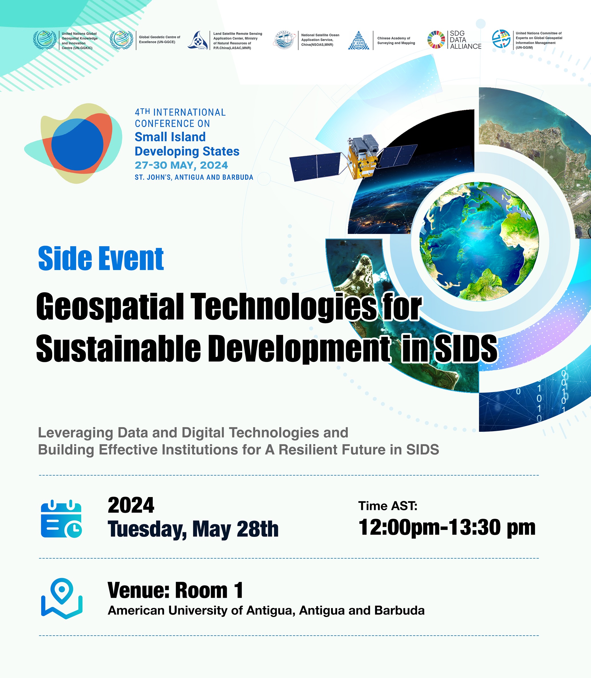
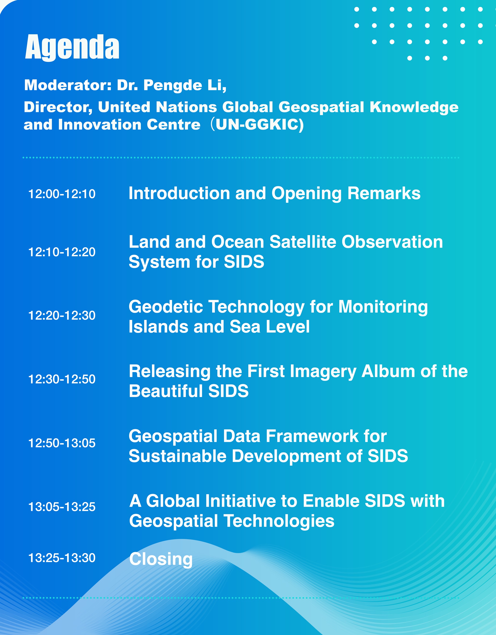
The primary objective of the side event on Geospatial Technologies for Sustainable Development of SIDS aims to explore data, platforms, frameworks and experiences for the benefits of countries including SIDS and how geospatial information and technologies contribute to addressing national development priorities and sustainable development toward resilient prosperity. The side event will also provide opportunity for participants to discuss how global cooperation can foster innovation with geospatial technologies to enrich data resources and strengthen capacity.