Sub-regional Workshop on Integrated Geospatial Information Management
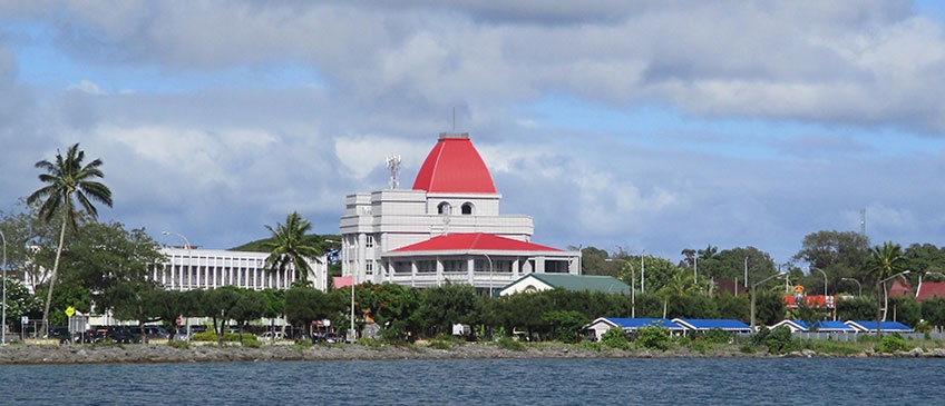
Nuku'alofa, Kingdom of Tonga- 31 March - 3 April 2020
Geospatial information exists in many forms and mediums, integrating all digital data with a location dimension. It can be as simple as a name on a map or as complicated as a multi-layer three-dimensional model of that place - anything from cities, land-use and traffic distribution to monitoring the environment and climate variables. All countries and all sectors need geospatial information to make informed decisions, to develop national development plans and strategies and to achieve the Sustainable Development Goals (SDGs). Collaborative information systems that are comprehensive, coordinated and integrated, underpinned by geospatial information technologies and applications, provide the evidence on 'where' people interact with their place and their environment.
In August 2018, the United Nations Committee of Experts on Global Geospatial Information Management (UN-GGIM) adopted the Integrated Geospatial Information Framework (IGIF) that provides a basis, a reference and a mechanism for countries when establishing or strengthening their national geospatial information management arrangements and related infrastructures, or to coordinate activities to achieve alignment between and across existing national capabilities and infrastructures. The IGIF translate high-level concepts to practical implementation guidance and does this by leveraging seven (7) underpinning principles, eight (8) goals and nine (9) strategic pathways as a means for governments to establish, improve and sustain more effective geospatial information management arrangements. The objective of the nine strategic pathways is to guide governments towards implementing integrated geospatial information management in a way that will deliver a vision for sustainable social, economic and environmental development.
This Sub-regional Workshop is an activity under the United Nations Development Account 11th Tranche Project "Strengthening geospatial information management in developing countries towards implementing the 2030 Agenda for Sustainable Development". The activity seeks, through sub-regional workshops, raise awareness and understanding, and provide guidance for the implementation of internationally agreed frameworks. This includes the Integrated Geospatial Information Framework as the overarching strategic framework, and the Global Statistical Geospatial Framework, the Framework for Effective Land Administration, policy and legal framework for geospatial information management, and marine geospatial information.
The workshop will be highly participatory, offering participants opportunities for peer-to-peer exchanges and learning, to consider, articulate and demonstrate national leadership in integrated geospatial information management, and the capacity to take positive steps.
- Concept Note
- Information Note
- Provisional Annotated Agenda
- List of Participants
- Summary Report
31 March 2020
