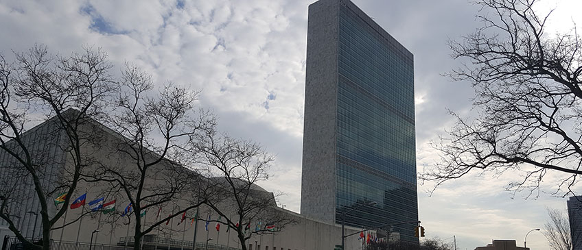
On 10 January 2014, during the Seventh Session of the Open Working Group (OWG) on Sustainable Development Goals (SDGs), the Secretariat of the United Nations Committee of Experts on Global Geospatial Information Management (UN-GGIM) convened a side event on The Role of Geospatial Information in Measuring and Monitoring the Sustainable Development Goals: Disaster risk reduction, sustainable development, and global urbanization. The side event included presentations from Member States that clearly demonstrate the critical role that geospatial information is able to play in measuring and monitoring the post-2015 development agenda with a particular focus on disaster risk reduction, sustainable development, and urbanization. The presentations were followed by open discussions which included questions to and answers by the discussion panel by members of the Open Working Group.

