Slider Image

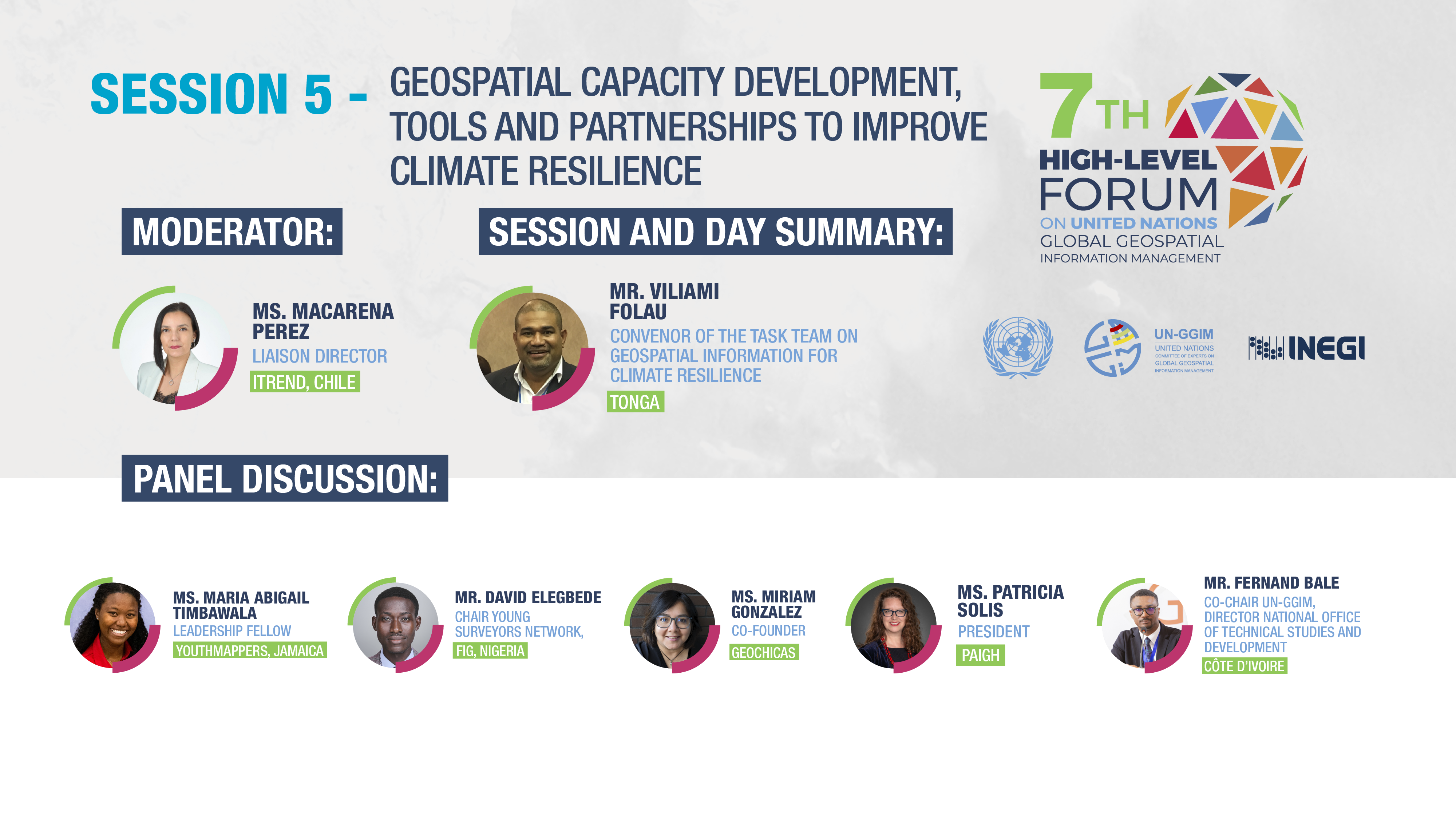
Geospatial capacity development, tools and partnerships to improve climate resilience

This session will explore the essential aspects of building geospatial capacity, developing advanced tools, and fostering partnerships to enhance climate resilience. As the impacts of climate change intensify, there is an urgent need to strengthen the capabilities of countries and organisations to effectively utilize geospatial information in their climate resilience strategies.

Slider Image

Presentations

  • Chilean Institute for Disaster Resilience (Itrend) - Ms. Macarena Pérez, Liaison Director, Institute for Disaster Resilience, Chile
  • Building capacity for Climate Resilience - Ms. Miriam González, Co-Founder GeoChicas
  • YouthMappers - Ms. María Abigail Timbawala, Leadership Fellow, YouthMappers, Jamaica Chapter
  • PanAmerican Institute of Geography and History - Executive Director, Knowledge Exchange and Resilience, Arizona State University, President PAIGH and Co-Founder and Director of YouthMappers
  • Sustaining the Global Geodesy Supply Chain Achieving Resilience - Mr. Fernand Bale, co-Chair UN-GGIM, Director, National Office of Technical Studies and Development, Côte d’Ivoire