Deqing meeting of the Working Group on Legal and Policy Frameworks for Geospatial Information Management
Deqing, Zhejiang Province, China- 17 - 18 November 2018
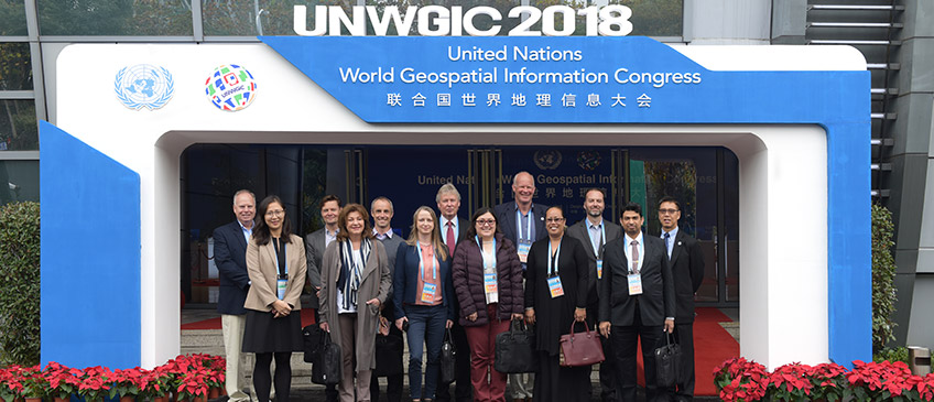
The Deqing meeting of the Working Group on Legal and Policy Frameworks for Geospatial Information Management was the first expert meeting of the Working Group since its establishment by the Committee of Experts at its seventh session in August 2017. Prior to this face-to-face meeting, the Working Group carried out its tasks and activities online. The meeting brought together ten members of the Working Group who were joined by another four invited participants and two United Nations staff member from the Secretariat. The Deqing meeting was hosted by the Ministry of Natural Resources of China and the Zhejiang Provincial Government at the Novotel Deqing Moganshan Hotel on the margins of the United Nations World Geospatial Information Congress held from 19 - 21 November 2018.
The Working Group fostered a participatory and welcoming working environment for the two days that promoted camaraderie and allowed the Working Group to work together as a team. Participants readily shared and exchanged knowledge and experiences to identify and deal with issues and challenges related to legal and policy frameworks for national geospatial information management, including but not restricted to: the growing dependency on geospatial information in daily activities and transactions; the emergence of innovative approaches and technologies in the collection, production and delivery of geospatial information; the need for geospatial information to be "machine-readable"; and the need for better awareness of legal and policy challenges more broadly within Member States. One area of focus of the Working Group - the issue of authoritative data was also discussed. The meeting discussed the continuum of mechanisms that support authority, such as approaches or mechanisms for compliance, for compulsion, and for cooperation. It was also noted that some jurisdictions shifted the recognition of authority from policy measures to legislative mandates.
At the end of two productive days, the Working Group agreed that its current work plan will need to be updated and revised to reflect an expanded work streams that included supporting the operationalization of the United Nations Integrated Geospatial Information Framework.
Documentation for the meeting
- Concept Note
- Information Note
- United Nations Integrated Geospatial Information Framework (Part I)
- Annotated Agenda
- List of Participants
- Report
Presentation Materials
-
Agenda item #2 - Work plan: Status, progress and results
- Ms. Malgorzata Drewniak, Chair of the Working Group (Lantmateriet, Sweden)
-
Agenda item #3 - National perspective on legal and policy frameworks for geospatial information management
- Mr. Simon Costello, Geoscience Australia
- Mr. Jean-François Beaupré, Natural Resources Canada (delivered orally)
- Ms. Xu Kun, Ministry of Natural Resources, China
- Mr. Petri Korpinen, National Land Survey, Finland
- Mr. Azlim Khan Abdul Raof Khan, Department of Survey and Mapping, Malaysia
- Ms. Cristina Guirette Saldana, INEGI, Mexico
- Mr. Tomas Ohrn, Lantmateriet, Sweden
- Ms. Rosamond Bing, Ministry of Lands and Natural Resources, Kingdom of Tonga
-
Agenda item #4 - Use case exercise - overview of results, preliminary findings, probable and proposed outputs, and next steps
- Mr. Kevin Pomfret, Centre for Spatial Law and Policy, United States of America
-
Agenda item #5 - Implementation Guide of the Integrated Geospatial Information Framework - Strategic Pathway #2: Legal and Policy
- Mr. Kevin Pomfret, Centre for Spatial Law and Policy, United States of America
-
Agenda item #6 - Addressing new and emerging legal and policy issues in geospatial information management
- Mr. Kevin Pomfret, Centre for Spatial Law and Policy, United States of America (delivered orally)
- Ms. Lesley Arnold, Cooperative Research Centre for Spatial Information (machine learning environment)
- Mr. Kees de Zeeuw, co-Chair, UN Expert Group on Land Administration and Management (Kadaster International, Netherlands)
- Ms. Malgorzata Drewniak, Chair of the Working Group (Lantmateriet, Sweden)
Annual sessions
- Fifteenth session
- Fourteenth session
- Thirteenth session
- Twelfth session
- Eleventh session
- Past sessions