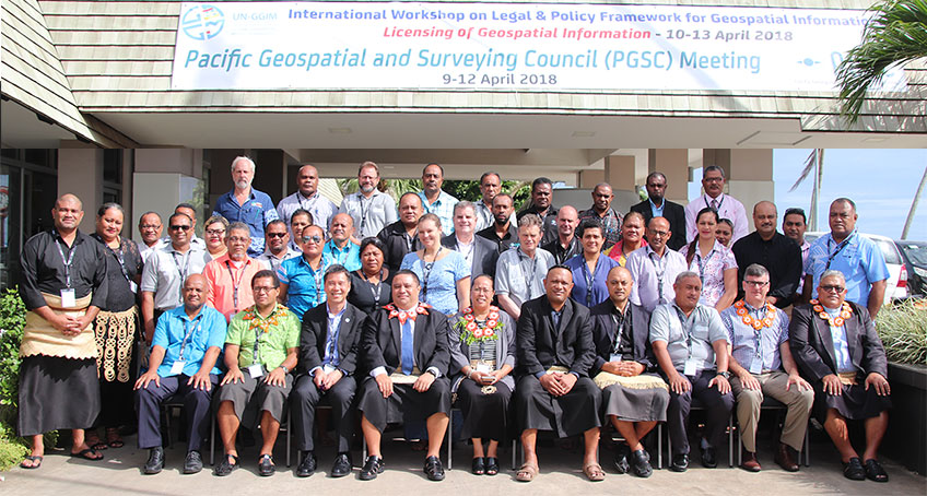
International Workshop on Legal and Policy Frameworks for Geospatial Information Management - Licensing of Geospatial Information
Nuku'alofa, Tonga- 10 - 13 April 2018
This is the second in a series of regional/sub-regional peer-to-peer learning events on Legal and Policy Frameworks for Geospatial Information Management organized by the Secretariat for UN-GGIM, United Nations Statistics Division. This series of peer-to-peer learning events is a response to the decision by the United Nations Committee of Experts on Global Geospatial Information Management (UN-GGIM) for the development of mechanisms for Member States to develop capacity to address the legal and policy matters that have an impact on the collection, dissemination and application of geospatial information.
The goal of this International Workshop is to:
- (i) make both providers and consumers of geospatial information at the national and local levels better aware and informed on how a country's legal and policy framework impacts geospatial information management,
- (ii) improve the capacity of Member States in addressing legal and policy considerations in geospatial information management to improve data sharing and dissemination, and
- (iii) increase the availability, accessibility and application of geospatial information.
This four-day workshop aims to raise awareness, introduce and inform participants from Small Island Developing States in the Pacific on concepts and practical approaches which the participants should find helpful in their normal work. This International Workshop is organised in collaboration with the Ministry of Lands and Natural Resources of Tonga, and supported by the Secretariat of the Regional Committee of United Nations Global Geospatial Information Management for Asia and the Pacific (UN-GGIM-AP).
Objectives
The objectives of the International Workshop are -
- (a) To raise awareness on how an evolving legal and regulatory environment concerning geospatial information will impact the availability, accessibility and application of geospatial information;
- (b) To afford professionals within the geospatial information community who do not have legal training a better understanding of legal and policy considerations concerning geospatial information management and the sharing and dissemination of geospatial information; and
- (c) To discuss the purpose and usefulness of a geospatial information licensing arrangement, and the role of the licence that is relevant in national contexts.
Participants
Participation is solely by invitation only. Participants are expected to be directors or senior officials from national ministries or agencies having responsibilities for geospatial information management, surveying and mapping. Participants are senior officials who need to address legal and policy issues to improve the sharing and dissemination of geospatial information, and thus the availability, accessibility and application of geospatial information.
Documentation for the International Workshop
Statements
Reference Materials
Presentations
-
Session 2a: Introductions, overview and context
- Safety and housekeeping announcements/About the Workshop
- Mr. TEO CheeHai, UN-GGIM Secretariat National perspective on legal and policy issues impacting geospatial information management
- Ms. Halalilika 'Etika, Tonga Regional perspective on legal and policy issues impacting geospatial data sharing and dissemination
- Mr. John Dawson, Australia
- Mr. Andrick Lal, SPC
- Mr. Wolf Forstreuter, SPC
-
Session 2b: Setting the scene
- Overview and context
- Mr. TEO CheeHai, UN-GGIM Secretariat
- Improving availability and accessibility of geospatial information: UN-GGIM Compendium on Licensing of Geospatial Information
- Mr. Kevin Pomfret, Centre for Spatial Law and Policy, United States
-
Session 3: Legal and policy framework around geospatial information management
- The Role of national Legal and Policy Frameworks on Geospatial Information Management
- Mr. Kevin Pomfret, Centre for Spatial Law and Policy, United States
- Legal frameworks for Geospatial Information Management-a national approach
- Mr. Matt Amos, Land Information New Zealand
- Unique aspects of geospatial information from a legal and policy standpoint
- Mr. Kevin Pomfret, Centre for Spatial Law and Policy, USA
-
Session 4: Role and options on licensing in Geospatial Information Management
- Improving availability and accessibility of geospatial information: Licensing of Geospatial Information
- Mr. Kevin Pomfret, Centre for Spatial Law and Policy, United States
- Instruments to improve availability and application of geospatial information-a national approach
- Mr. Simon Costello, Geoscience Australia
- Types of Geospatial Information Licenses
- Mr. Kevin Pomfret, Centre for Spatial Law and Policy, USA
-
Session 5: Policy and legal issues and challenges in geospatial information management in the Pacific Island States
- Policy, legal and regulatory issues and challenges impacting geospatial information management
- Mr. Michael Amon Gideon, Department of Lands and Physical Planning, Papua New Guinea
- Mr. Jimmy Ikina, Ministry of Lands, Housing and Survey, Solomon Island
- Mr. Faatasi Malologa, Ministry of Lands and Natural Resources, Tuvalu
- Mr. Tony Kevin Kanas, Department of Land Survey, Vanuatu
- Mr. Richard Siataga, Division of Land Survey and Management, Niue
-
Session 6: Key Legal Issues in Geospatial Information Management
- Intellectual property rights, data quality and liability issues associated with geospatial information
- Mr. Kevin Pomfret, Centre for Spatial Law and Policy, United States
- A national perspective on key legal issues in geospatial information management
- Ms. Meizyanne Hicks, Ministry of Lands and Natural Resources, Fiji
- Geo-location privacy; national security and regulatory issues associated with geospatial information
- Mr. Kevin Pomfret, Centre for Spatial Law and Policy, USA
-
Session 7: Improving availability and accessibility of geospatial information in the Pacific Island States
- National data sharing and dissemination approaches to improve the availability and application of geospatial information
- Ms. Reei Tioti, Ministry of Environment, Land and Agriculture Development, Kiribati
- Mr. Bill Labija, Ministry of Culture and Internal Affairs, Marshall Islands
- Mr. Benly Lucios, Division of Mapping and Survey, Micronesia
- Mr. Wess Tsitsi, Lands and Survey Department, Nauru (Oral presentation)
- Mr. Viliami Folau, Ministry of Land and Natural Resources, Tonga
-
Session 8: Emerging Trends in Legal and Policy Issues that impacts Geospatial Information Management
- Issue of open data, confidentiality and privacy and impact of new technologies
- Mr. Kevin Pomfret, Centre for Spatial Law and Policy, United States
- A national perspective on emerging trends in legal and policy issues that has an impact on geospatial information management
- Ms. Malgorzata Drewniak, Lantmãteriet, Sweden
- Considerations in creating a legal framework
- Mr. Kevin Pomfret, Centre for Spatial Law and Policy, USA
-
Session 9: Improving availability and accessibility of geospatial information: Licensing of Geospatial Information
- Developing capacity to address the legal and policy matters that have an impact on the collection, dissemination and application of geospatial information.
- Mr. John Dawson, UN-GGIM-AP: Working Group 1-Geodetic Reference Frame/Geoscience Australia
- Mr. Andrick Lal, Mr. Yolisaguyau Tom'tavala & Mr. Wolf Forstreuter
- Ms. Rosamond Bing, Chair, Pacific Geospatial and Surveying Council/Tonga (Oral presentation)
Annual sessions
- Fifteenth session
- Fourteenth session
- Thirteenth session
- Twelfth session
- Eleventh session
- Past sessions