International Workshop on Legal and Policy Frameworks for Geospatial Information Management - Licensing of Geospatial Information
Tianjin, China- 7 - 9 NOVEMBER 2017
The United Nations Committee of Experts on Global Geospatial Information Management (UN-GGIM) recognized the need to develop mechanism to improve the capacity of national geospatial information authorities (national surveying and mapping agencies) to address the legal and policy considerations that have an impact on the availability, accessibility and application of geospatial information. This International Workshop is the first in a series of regional peer-to-peer learning events on Legal and Policy Frameworks for Geospatial Information Management aimed to raise awareness, introduce and inform participants on practical approaches that participants should find helpful in their daily work. The goal was for both providers and consumers of geospatial information to be better aware and informed on how a country's legal and policy framework impacts geospatial information management.
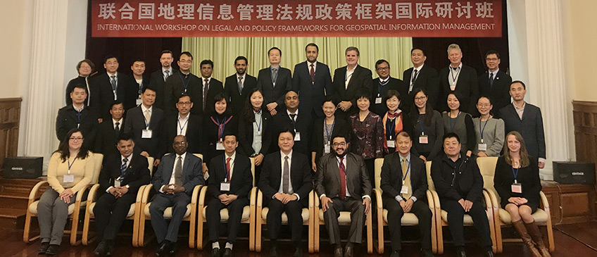
There were a total of 34 participants, 32 of whom came from 19 Member States, one resource person and one staff of the United Nations Secretariat. Also in attendance was a dedicated and efficient support team comprising of staff members from the National Administration of Surveying, Mapping and Geoinformation of China and MapWorld (Tianjin) Co. Ltd. The 32 participants, representatives of national agencies, came from least developed countries, Small Island developing states, land locked developing countries, developing (including middle income) and developed countries. These participants came from all five regions within UN-GGIM regional architecture, namely, Africa, Americas, Arab States, Asia and the Pacific, and Europe.
The core component of this regional level peer-to-peer learning event was four modules that addressed (a) Legal and policy framework around geospatial information management; (b) Role and options on licensing in geospatial information management; (c) Key legal issues in geospatial information management; and (d) Emerging legal and policy trends that will impact geospatial information management.
Twenty eight presentations were delivered over three days, apart from those presentations that addressed the core component of this learning event, there were ten presentations from national agencies providing national perspectives, and five presentations that gave regional perspective on capacity development needs. Group and open discussion segments were energetic with an elevated level in sharing knowledge and experience, national contexts and challenges. These exchanges continued beyond the scheduled sessions, confident that it will also extend beyond the close of the workshop as participants returned to their daily responsibilities. Participants expressed a need for similar events at sub-regional levels where there could be some contextual similarities, proceeding into country-level workshops to support Member States to work through and address legal and policy considerations within their country-level situation. In this regard, Regional Committees on United Nations Global Geospatial Information Management will have to consider appropriate modalities and resources to continue developing capacity of national geospatial information authorities to address legal and policy considerations that have an impact on the availability, accessibility and application of geospatial information.
Documents
Reference Material
Meeting Materials
Workshop Folder
Presentations
- Session 1: Welcome and introductions
- Dr. Li Pengde (China) Welcome Remarks (National Administration of Surveying, Mapping and Geoinformation of China)
- Session 2: Setting the scene: Overview and context
- UN-GGIM Secretariat - Overview, objective and outcomes
- Mr. Wang Qian (*China), Legal and Policy Issues and Challenge Impacting Data Sharing and Data Dissemination in China
- Mr. Mohamed Shafee (Maldives), Legal & Policy Issues Impacting Data Sharing and Dissemination in the Maldives
- Mr. Ganesh Prasad Bhatta, Survey Department (Nepal), key legal and policy issues and challenges impacting data sharing and data dissemination in Nepal
- Mr. Joselito Reasol (Philippines), Status of Geospatial Data Licensing in the Philippines
- Mr. Chang Wei Mun (Singapore), Driving SingaporeÃs Geospatial Development
- Ms. Malgorzata Drewniak (Sweden), Key legal and policy issues impacting data sharing and data dissemination in Sweden
- Centre for Spatial Law and Policy, UN-GGIM Compendium on Licensing of Geospatial Information
- Session 3: Legal and policy framework around geospatial information management
- Centre for Spatial Law and Policy - The Role of national Legal and Policy Frameworks on Geospatial Information Management
- Ms. Xu Kun (China) - A national perspective on legal frameworks for Geospatial Information Management
- Centre for Spatial Law and Policy - Unique aspects of geospatial information from a legal and policy standpoint
- Session 4: Role and options on licensing in Geospatial Information Management
- Centre for Spatial Law and Policy, Role of Licensing in Geoinformation Information Management
- Mr. Simon Costello (Australia), Australia's Approach to Licensing Spatial Information
- Centre for Spatial Law and Policy, Types of Geospatial Information Licenses
- Session 5: Key Legal Issues in Geospatial Information Management
- Centre for Spatial Law and Policy, Intellectual Property Rights and Data Quality Issues Associated with Geospatial Information
- Mr. Petri Korpinen (Finland), A national perspective on key legal issues in geospatial information management
- Centre for Spatial Law and Policy, Geo-location Privacy, National Security and Regulatory Issues Associated with Geospatial Information
- Session 6: Emerging Trends in Legal and Policy Issues that impacts Geospatial Information Management
- Centre for Spatial Law and Policy, Emerging Trends That Will Impact Geospatial Information Management
- Ms. Malgorzata Drewniak (Sweden), Emerging trends in legal and policy issues with impact on geospatial information management in Sweden
- Session 7: Improving availability and accessibility of geospatial information: Licensing of Geospatial Information
- UN-GGIM Secretariat, Group Discussion
- Mr. Sultan Mohammed Alya (Ethiopia), UN-GGIM: Africa
- Ms. Cristina Guirette Saldaňa (Mexico), UN-GGIM: Americas
- Mr. Talal Alshafaey (Saudi Arabia), UN-GGIM: Arab States
- Mr. Bayarmaa Enkhtur (Mongolia),UN-GGIM: Asia and the Pacific
- Ms. Malgorzata Drewniak (Sweden), Developing capacity to address the legal and policy issues
- Session 8: Closing Session
- UN-GGIM Secretariat
Photographs (forthcoming)
Annual sessions
- Fifteenth session
- Fourteenth session
- Thirteenth session
- Twelfth session
- Eleventh session
- Past sessions