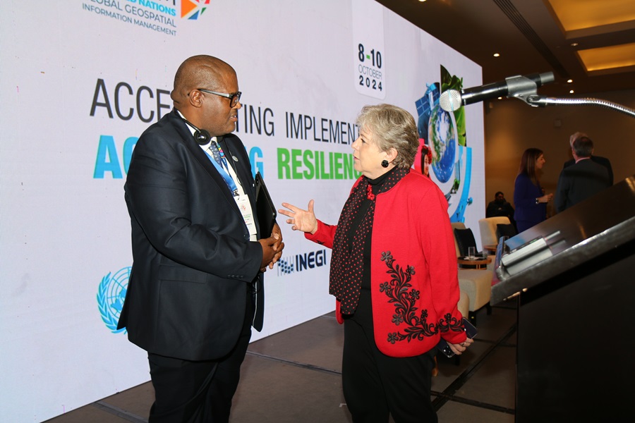
The United Nations Committee of Experts on Global Geospatial Information Management (UN-GGIM), in collaboration with the Government of México through Instituto Nacional de Estadística y Geografía (INEGI) successfully convened the Seventh High-level Forum on United Nations Global Geospatial Information Management with the theme "Accelerating Implementation: Achieving Resilience" in México City from 8 - 10 October 2024. This seventh edition of UN-GGIM's High-level Forums continued UN-GGIM's regular high-level, multi-stakeholder discussions on global geospatial information management, which aimed to promote comprehensive dialogue among Member States, and between Member States and relevant international organizations, UN system entities, and stakeholders. The Forum brought together 237 participants (137 men and 100 women) from 47 countries, the United Nations, other international organizations and the private sector.
At its thirteenth session in August 2023, the Committee of Experts, with decision 13/101, welcomed the offer of the Government of México, through its National Institute of Statistics and Geography, to host the Seventh High-level Forum in México City in October 2024 and confirmed the support of the Committee of Experts in the development and implementation of the programme of the Forum. The Seventh High-level Forum had the substantive support from each of the five Regional Committees of United Nations Global Geospatial Information Management (UN-GGIM: Africa, UN-GGIM: Americas, UN-GGIM: Arab States, UN-GGIM: Asia and the Pacific, and UN-GGIM: Europe), as well as the functional groups and thematic networks of the Committee of Experts.
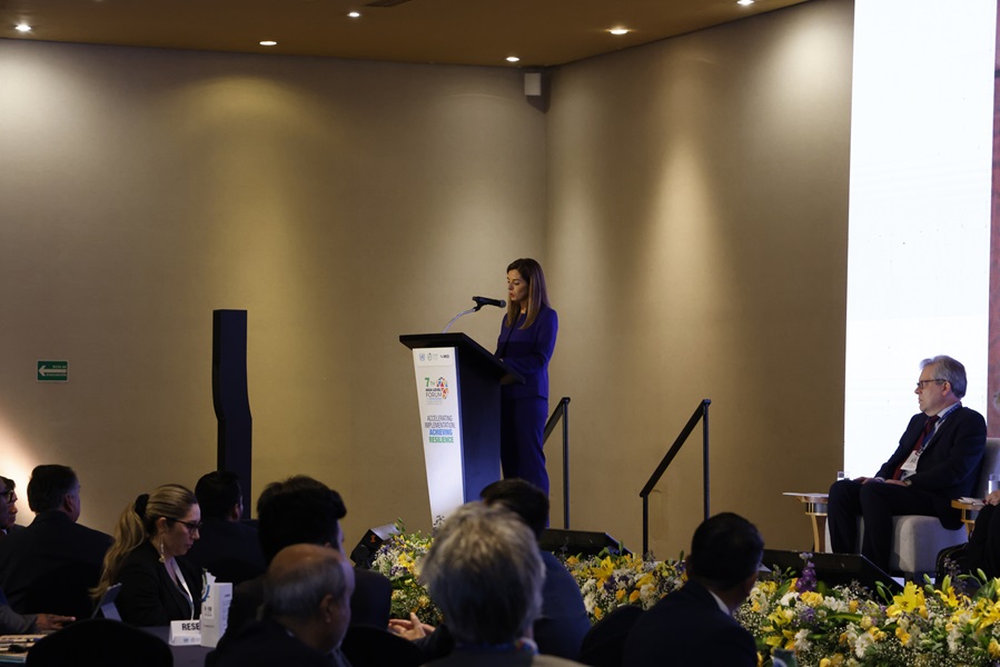
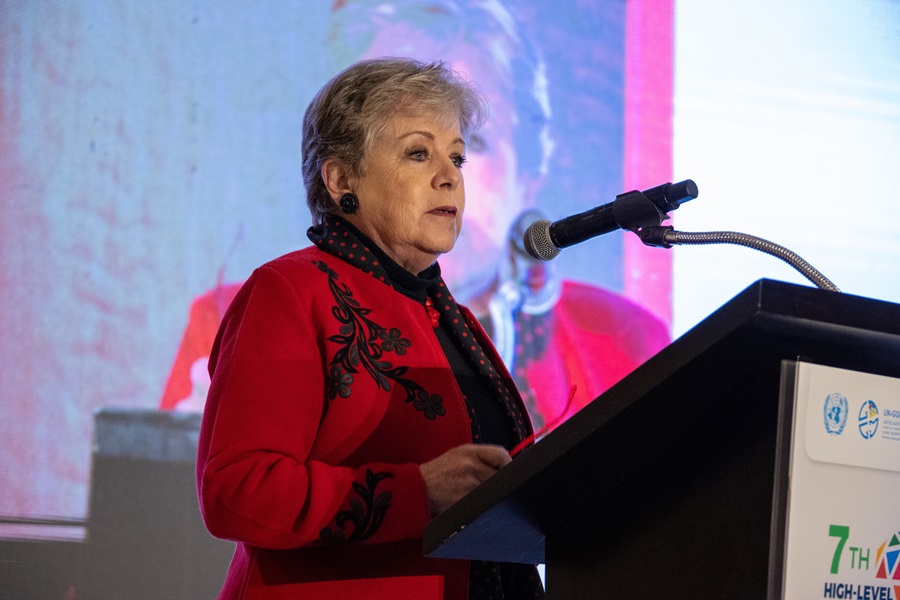
The advisory committee contributed to the development and promotion of a compelling substantive agenda for the High-level Forum over three days. The forum began with an opening ceremony with opening remarks delivered in video by H.E. Ambassador Bob Rae, Canada and President of ECOSOC, and H.E. Mr. Li Junhua, Under-Secretary-General for Economic and Social Affairs. In person opening ceremony speakers included H.E. Ms. Alicia Bárcena, the Minister of the Environment and Natural Resources, Mexico, Mr. Peter Grohmann, Resident Coordinator, United Nations in Mexico, and Mr. Stefan Schweinfest, Director, Statistics Division.
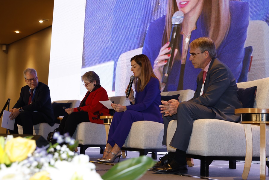
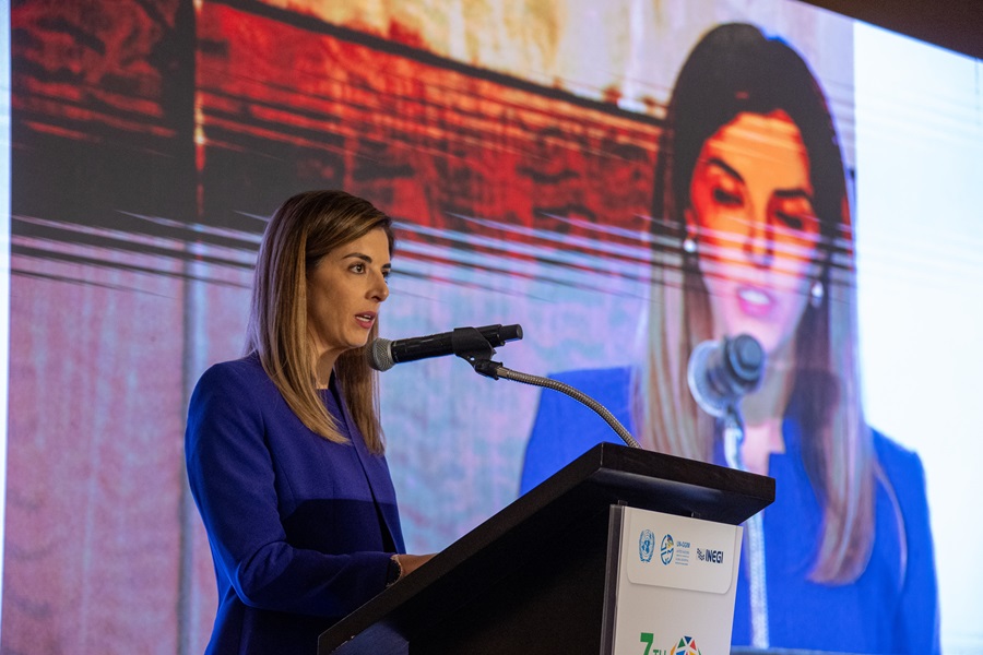
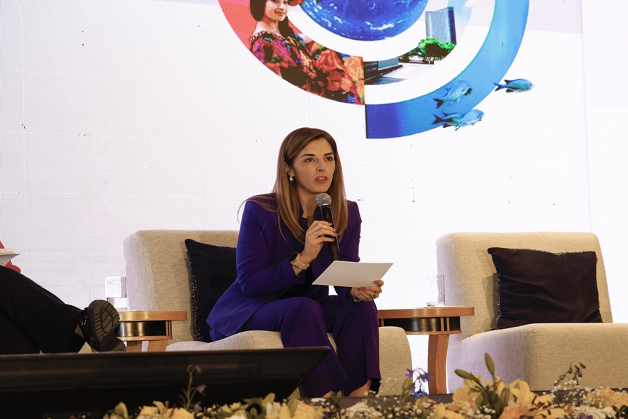
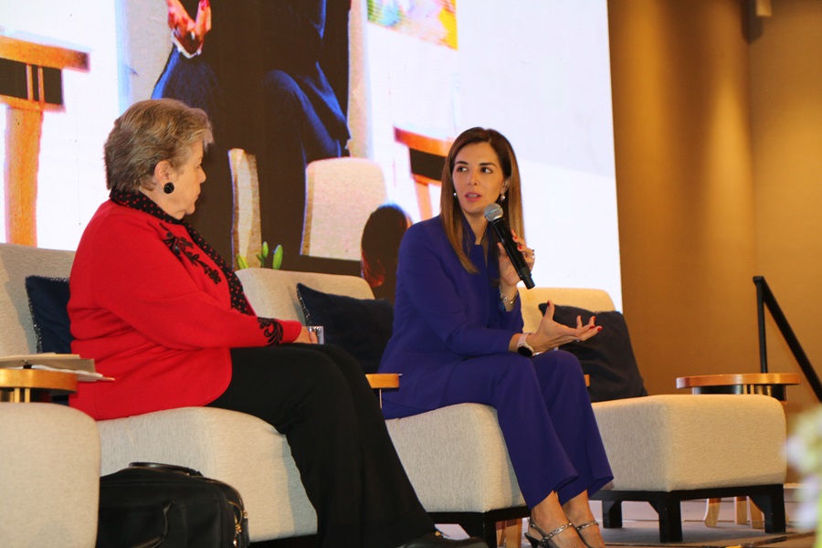
Each day of the Forum had a themed focus; day one discussions addressed, Accelerating implementation for the 2030 Agenda and Beyond, day two looked at the topic, Achieving a resilient planet with geospatial information and the final day examined Building a sustainable future: Innovation, Technology and Artificial Intelligence. The three-day programme consisted of an opening and a closing session with seven themed sessions, supported by keynotes, panel discussions and interactive discussion with the audience. The session ended with the presentation of a Summary Statement delivered by the Forum Chair, Paloma Merodio, Vice President INEGI.
Additional information including the concept note, substantive programme, presentations, papers, videos and daily forum recordings and pictures are available on this website.

Day 1 Recording
Day 2 Recording
Day 3 Recording
Luis Gerardo Esparza Róos, Geography and Environmental General Director, INEGI
Paloma Merodio Gómez, Vice-President, INEGI / UN-GGIM Co-Chair
Fernand Bale, Subcommittee on Geodesy Co-Chair/UN-GGIM Co-Chair
Ingrid Vanden Berghe, Administrateur-general, NGI Belgium / UN-GGIM Co-Chair
Stefan Schweinfest, UNSD / UN-GGIM Secretariat
The objective of the advisory committee is to develop and promote a compelling substantive agenda for the High-level Forum with high-level keynote and plenary presentations for three days.

Paloma Merodio Gómez
Vice President, National Institute of Statistics and Geography, Mexico

Gabriela Garcia Seco
Deputy Director in the Vice Presidency, National Institute of Statistics and Geography, Mexico

Luis Gerardo Esparza
General Director of Geography and Environment, National Institute of Statistics and Geography, Mexico

Ingrid Vanden Berghe
Administrator General, National Geographic Institute, Belgium

Fernand Eanes Bale
Director, Geographical and Digital Information Center,
Cote d’Ivore
Kamal Outghouliast
Head of the Modeling and Data Backup Service, National Agency of Land Conservation, Land Registry and Mapping, Morocco
David McCollin
Chief Surveyor The Lands and Survey Department/Ministry of Housing, Lands and Rural Development, Barbados

Sofia Nilo Crisóstomo
Executive Secretary, National Territorial Information System, Chile

Frank Tierolff
Chair Executive Board, Kadaster, Netherlands

Maroale Chauke
Director, National Spatial Information Framework Ministry of Agriculture Rural Development and Land Reform, South Africa
Antonius Wijanarto
Deputy Chairman of Thematic Geospatial Information, Geospatial Information Agency, Indonesia

Viliami Folau
Deputy CEO, Ministry of Lands and Natural Resources, Tonga

David Henderson
Chief Geospatial Officer, Ordnance Survey, United Kingdom

Deirdre Dalpiaz Bishop
Chief, Geography Division United States Census Bureau, United States

Céline Rozenblat
Vice President, International Geographical Union, Geospatial Societies

Maria Antonia Brovelli
Politecnico di Milano Academic Network

Mohamed-Ghouse Zaffar
Woolpert Private Sector Network

Alexandre Caldas
Director, Chief Early Warning and Data Analytics, UNEP, UN Geospatial Network

Tim Trainor
Past President, International Cartographic Association, Geospatial Societies

Stefan Schweinfest
Director, Statistics, DESA United Nations